20 Raddall Avenue, Dartmouth, (MLS® 202320511) RE/MAX nova
Google Play iOS Google Play iOS Google Play iOS

20 Raddall Avenue, Dartmouth

0 0 31524 sqft
$5,499,000 For Sale

Description

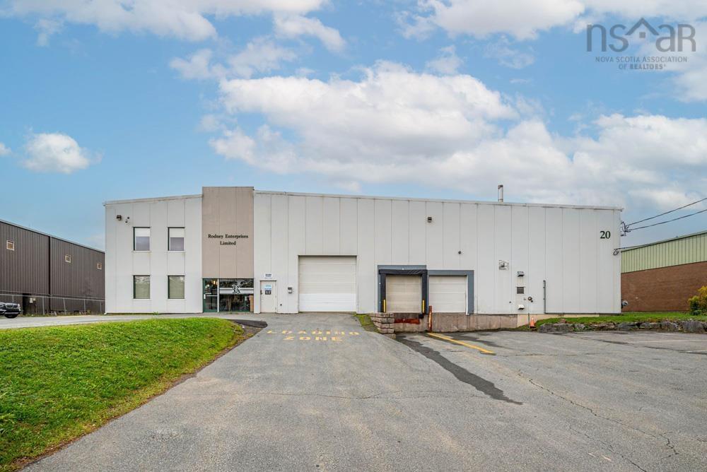
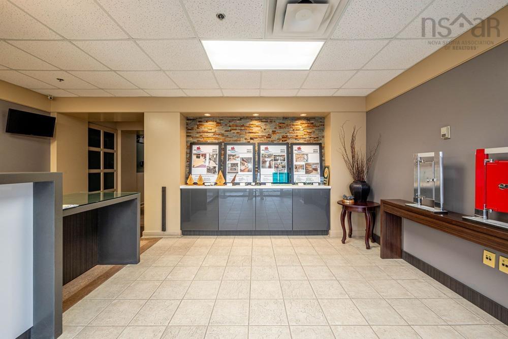
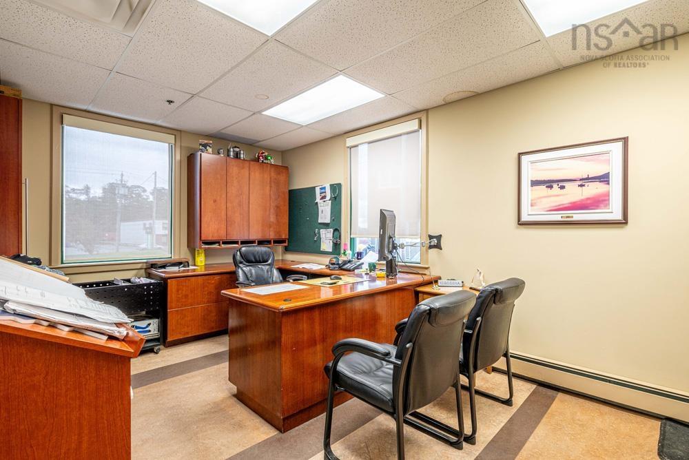
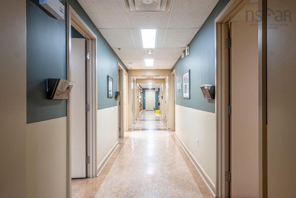
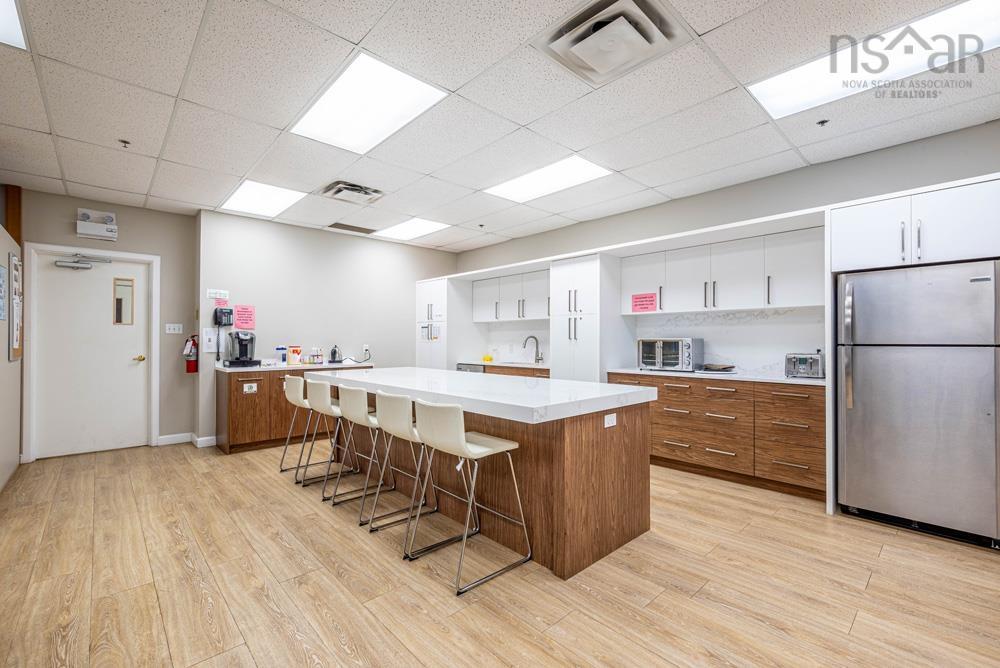
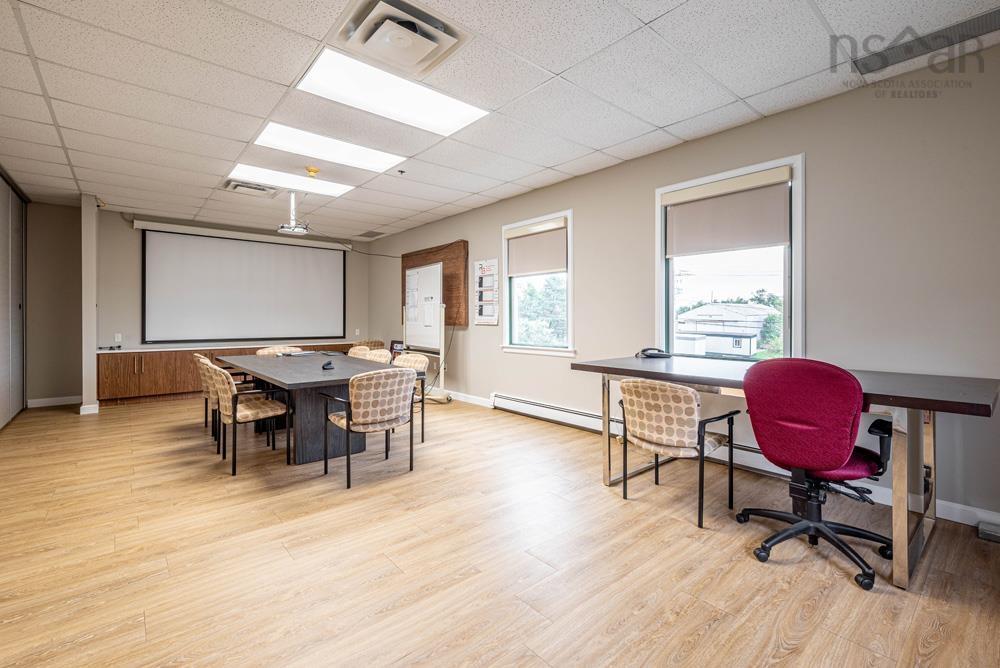
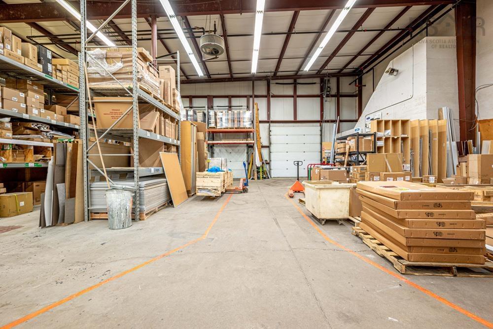
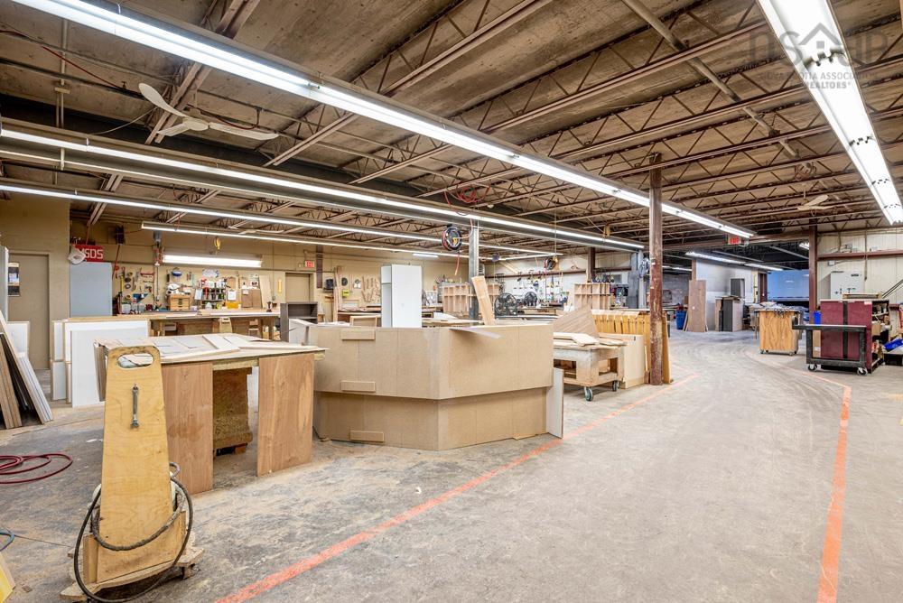
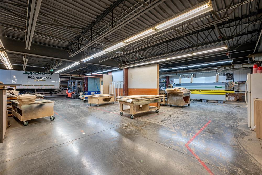
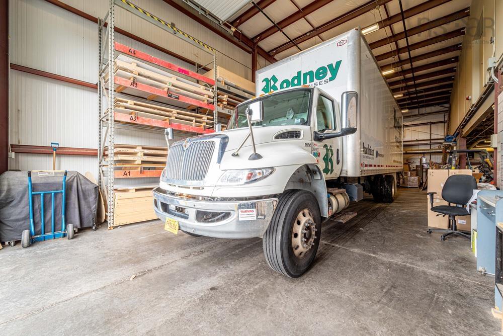
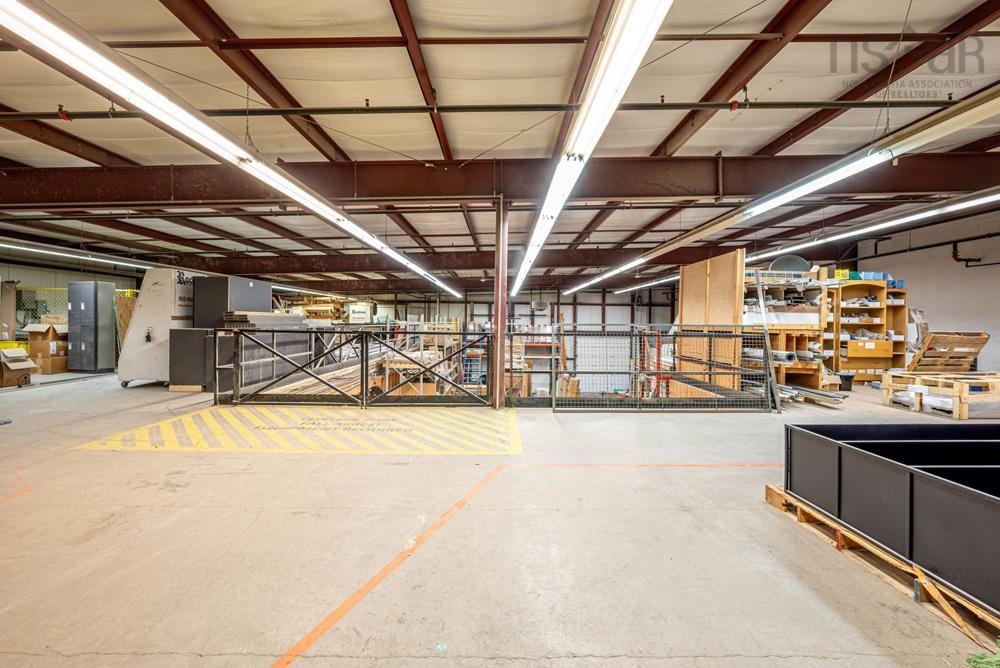
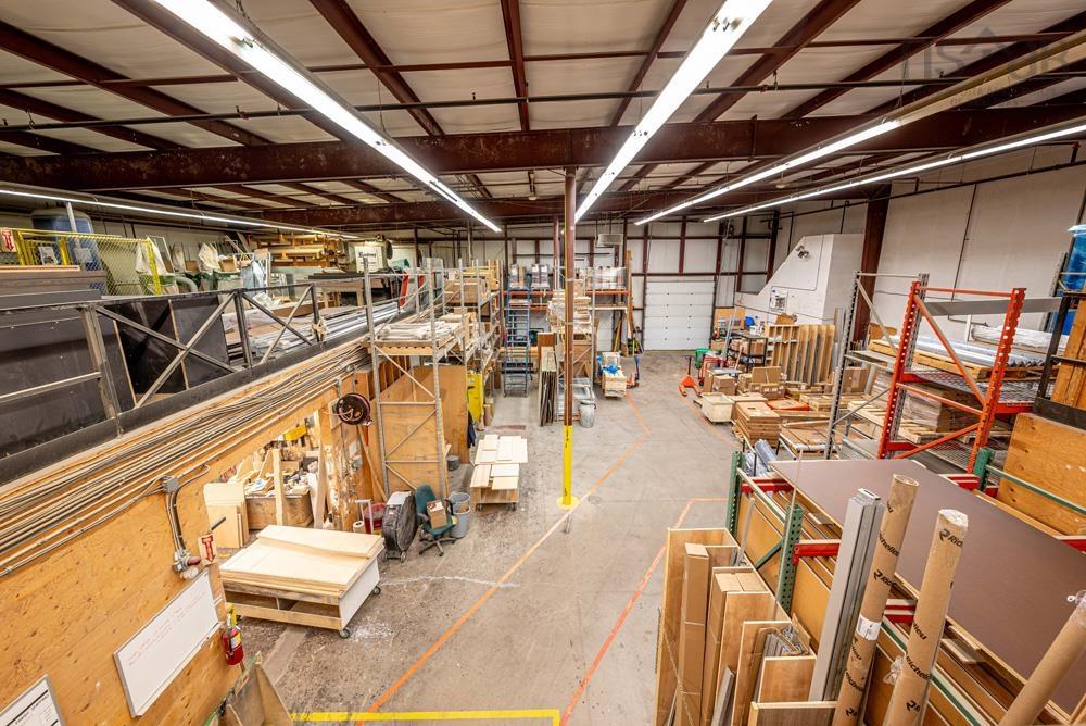
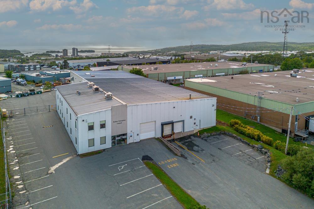
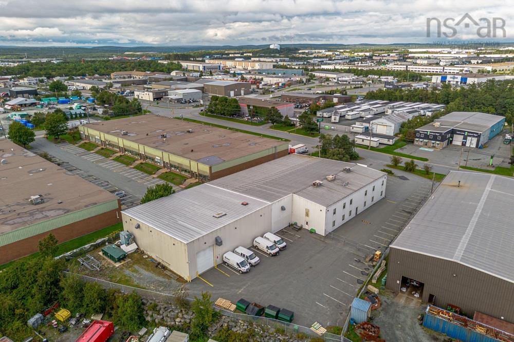
20 Raddall Avenue is a well maintained 31,524 square foot single tenant industrial building situated on a 1.2 acre lot. The property offers an adaptable configuration suitable for a variety of industrial uses, and features both dock and grade level loading doors, 20’ - 24’ ceiling height, well appointed office space, and a spacious warehouse. The property is ideally located in the center of Burnside Industrial Park, the regions largest industrial park with nearly 2,000 businesses, employing approximately 30,000 people. A multitude of amenities are nearby throughout the park and in the adjacent major retail node, Dartmouth Crossing. The MacKay Bridge to Halifax is less than 5 kilometers away and the soon-to-be completed Burnside Expressway (an extension of Highway 107 connecting Burnside with Sackville and Bedford) is less than 1 km away. Current tenant has a lease in place until late 2025. Go to Realtor's website for more information.

Listing Details

Address
20 Raddall Avenue, Dartmouth, B3B 1T2

Status
ACTIVE
Listing Price
$5,499,000
MLS®
202320511
Type
n/a
Style
---
Age
25
Square Footage (MLA)
31,524  ft2
Total Fin SqFt (TLA)
31,524  ft2
PID
00018911

Water
Municipal
Sewer
---
Utilities
---

Building Specifications

Foundation Type
---
Roof
Metal
Exterior Finish
---
Flooring
Concrete
RE/MAX Commercial

Garage & Parking

Garage
Y
Details
Warehouse

Sales History

Halifax Regional Municipality Data

Zoning
BGI
By-Law Code: 4
By-Law Area
Dartmouth
By-Law Code: DART
Polling District
Harbourview - Burnside - Dartmouth East
Concillor: Tony Mancini
Waste Collection
NO COLLECT
Contractor:

Demographic Data

Demographic data is based on the dissemination area that contains the listing parcel . Dissemination Areas are small areas composed of one or more neighbouring dissemination blocks. All of Canada is divided into dissemination areas. Data source: Environics Analytics via ArcGIS Online, 2021

Population Size

1347

Median Age

41.1

Avg Household Size

2.3

Avg House Income

$100K

The number of people for each age range.

How the population of this area is expected to change.

The highest level of education obtained by people within this area.

The maritial status of the people in this area.

The average household income within this area.

The number of people that rent versus own.

When the buildings in the area were constructed.

The number of children at home for the given age ranges.

The occupations of the people living here.

Tax Assessment

Year Amount % Change
2023 $2,231,400 ---
2022 $2,038,200 ---
2021 $1,667,700 ---
2020 $1,669,700 ---
2019 $1,638,200 ---
2018 $1,611,600 ---
2017 $1,615,400 ---
2016 $1,616,600 ---
2015 $1,611,400 ---
2014 $1,259,800 ---
2013 $1,257,300 ---
2012 $1,204,700 ---

Maps

Last Updated On: 3/25/2024 7:16:47 PM (UTC)